Common tools for drainage simulation including first SWMM model and HEC-RAS model of channel simulation, and second FLO-2D model and SOBEK model of flood analysis, details as follows:
-
Channel simulation tool

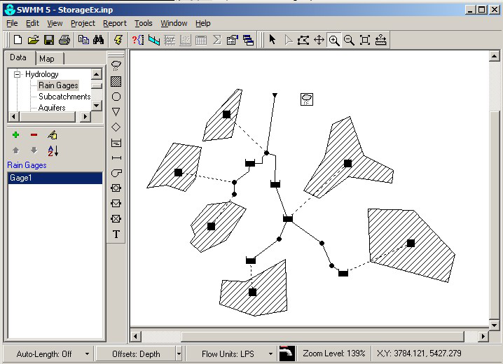
Figure.1 Simulation of SWMM model

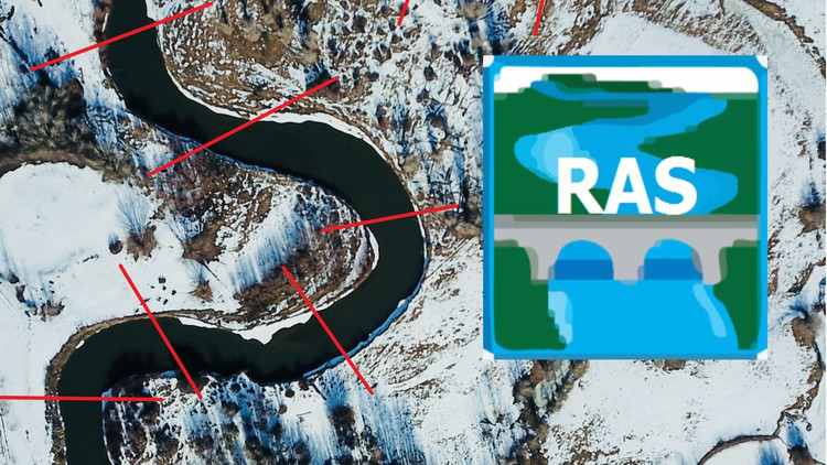
Figure.2 HEC-RAS model
-
SWMM model
The SWMM model is the planning, analysis, and design model of stormwater floods, sewers, and other drainage systems. It is built by the US Environmental Protection Agency (EPA) and now used in urban areas worldwide. It can consider factors such as groundwater, surface infiltration, and evaporation. The new version is also included in the low-impact development facilities (LID) simulation such as ecological retention ponds, infiltration trenches, porous pavements, rainwater tank, and grass trenches for runoff simulation. The simulating results are as Figure 1.
-
HEC-RAS model
The current capacity review and hydraulic analysis of the drainage system mainly adopt by the HEC-RAS River Analysis System (HEC-RAS) (as Figure 2), which is composed of the US Army Corps of Engineers, Hydrologic Engineering Center, HEC. The channel analysis model is the system software that can perform 1-D unsteady flow and steady flow hydraulic calculation.
HEC-RAS is a windowed integrated software, including Graphical User Interface (GUI), water analysis program, data storage and management, and chart production. For geometric data processing, HEC-RAS can be combined with Geographic Information System (GIS) and computer-aided design and drafting (CADD) to simplify the complexity of data processing. The simulation results of the model can be used for static graphics and table output, also as dynamic graphics output functions, including channel section, water surface line, water level, hydrograph, rating curve, and channel 3D perspective.
HEC-RAS has published version 5.01 in 2016. In this version, the model can also perform 2-D flooding simulation and can use irregular grids, but there are still a few domestic application cases.
-
Flooding analysis tool

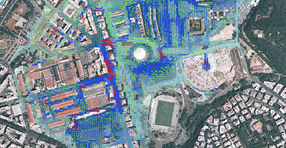
Figure.3 Simulation of FLO-2D model

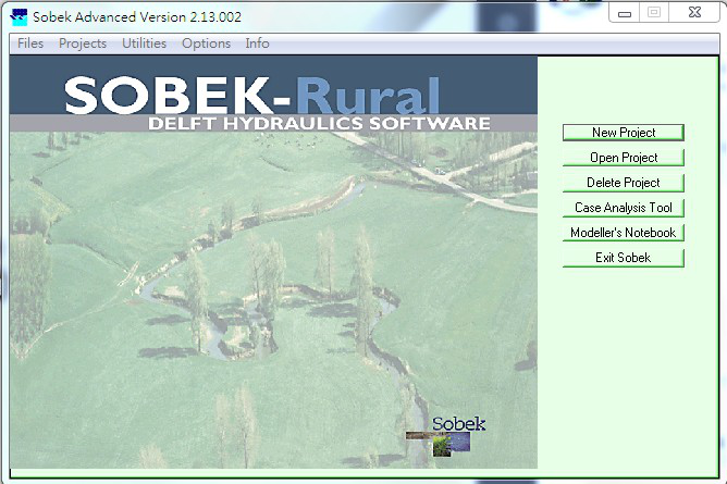
Figure.4 SOBEK Rural model
-
FLO-2D model
In the flood analysis model, the commonly used models are SOBEK and FLO-2D. FLO-2D is a flood simulation model developed by the US FLO-2D company. It is a 2-D model approved by the Federal Emergency Management Agency (FEMA) for urban flooding, flood plain management, engineering risk design, irregular shapes channel simulation, and bridge culvert hydraulic simulation. It can also deal with overland flow, urban hydrology, mudflow, and landslip. The simulating result is as Figure 3.
-
SOBEK model
SOBEK model has an excellent flooding simulation capability and is a flooding analysis model. At present, the third generation of Flooding Potential Map is mainly analyzed by SOBEK model. The SOBEK model was developed by Delft Hydraulics, the National Dutch Institute of Inland Water Management and Wastewater Treatment and other Dutch consultants to integrate rivers, urban drainage systems, and watershed management. The SOBEK model has a variety of computing functions. It is divided into three applications: Rural (as Figure 4), Urban, and River, depending on the application area. It includes Rainfall-Runoff Module (RR), 1-D Channel Flow Module (CF), 2-D Overland flow Module (OF), Water Quality Model (WQ), Real-Time Control (RTC), Sand Transport Calculation (ST), and Salt Intrusion (SI) various modules.
- In addition to the models mentioned, domestic scholars' development models include Professor Chang-Tai Tsai's Physiographic Soil Erosion-Deposition model (PSED model), Taiwan University's NTU-2DFIM model, and Sinotech Engineering Consultants’ SINOTOPO model.